
Looking Up San Gabriel Neighbors
A lawful block lookup is parcel-by-parcel. Find the target address, open the assessor map, select the target polygon, and inspect the lots immediately left, right, behind, or across the street. Then use the narrower record that fits the question. The table keeps a parcel clue from being mistaken for a person or a group roster.
| Source | What it shows about a block | Access |
|---|---|---|
| Assessor map | Adjoining parcels, AINs, situs geometry, street context | Free map browse |
| Parcel details | Assessment and possible ownership clues for the selected lot | Free, one parcel at a time |
| eTRAKiT | Visible construction and project chronology along addresses | Free guest search |
| City Archive or planning records | Named applicants, hearings, and public action | Web search or request |
| Authorized voter street index | Eligible registration data along a street | Contract, fee, restricted purpose |
| Reverse directory | Historical printed occupants or businesses by house number | Library reference shelf |
| Civic organizations | Public officers, meetings, and service contacts | Organization or city pages |
The block is a physical and civic unit, not a public list of every household. A map can establish which parcels touch; a separate source is needed for each claim about a person or organization.
Map a San Gabriel Block
The Assessor Map Search is the central block tool. Search by AIN or address, zoom until the parcel outlines appear, select the target, then click each nearby polygon. Record the standardized situs and AIN in a worksheet. If the live viewer exposes a layer, legend, measure, or selection control, inspect it before describing what it means. The map is authoritative for assessor geography, not a land survey.
- Enter the full San Gabriel address and select the correct suggested parcel.
- Save the target AIN, situs, legal-description clues, and map position.
- Click the parcel immediately left, right, behind, and across the street, when the map shows those lots.
- Record each neighboring AIN and situs without turning it into a household claim.
- Use eTRAKiT, public meeting files, or a historical directory only when the research question calls for them.
No radius or buffer tool should be claimed unless the current viewer actually displays and performs that function. Map browsing is the documented fallback.
San Gabriel AINs Make a Block Worksheet
An AIN gives each selected parcel a stable county reference for the next record. Keep the target and neighboring AINs in separate rows, along with situs, map position, legal-description clues, effective-date notice, and source link. If the result shows an owner or assessee, label it as a property connection. Do not write “resident” unless a separate source supports that dated claim.
- AIN
- The assessor’s numeric identifier for a parcel.
- Situs
- The physical parcel location used by assessment and permits.
- Mailing address
- The place where tax or assessment correspondence is sent, which may be elsewhere.
- Adjacent parcel
- A lot that touches or lies across the street from the target geometry, as shown by the map.
- Parcel card
- The assessment view for one selected parcel, not a unit or household roster.
Trusts, entities, multiunit buildings, parcel splits, and care-of addresses can make a block worksheet look more precise than the underlying evidence. Record the uncertainty beside the clue.
San Gabriel Permit Activity Around the Block
San Gabriel eTRAKiT provides address-keyed Permit, Project, Parcel, License, Contractor, and Inspection modes. Search each address when a construction or project question matters. A result may show permit type, description, status, applied, issued or final dates, contractor, and inspections. It documents work at a site, not every person who was present.
The City Archive Center adds categories for building files, council minutes, commissions, budgets, expenditures, revenues, and related municipal material. Code files can redact complainant information. Ask for the releasable case log or final notice when a full investigative file is not open. For a block near a city edge, verify jurisdiction before treating a missing San Gabriel permit as a missing event.
San Gabriel Rolls vs Commercial Neighbor Tools
Official sources and commercial neighbor products serve different purposes. The county map is tied to a parcel. A city permit is tied to a municipal record. A library directory is tied to a publication date. A commercial tool may combine assessment, marketing, and purchased data, then merge similar names or keep an old address. Use it only as an unverified lead and return to the custodian for proof.
| Category | Strength | Limit |
|---|---|---|
| Official parcel map | Current county geography and AIN relationship | Not a household list |
| City permit or archive | Dated work, applicant, or public action | Does not show every person at a site |
| Historical directory | Printed address and occupant snapshot | Omissions, compilation lag, and shelf gaps |
| Commercial neighbor category | May surface a lead across mixed data | Stale, conflated, costly, and not authoritative |
A block worksheet should cite an official source for each factual row. A commercial clue is never a reason to publish a name or address as settled fact.
San Gabriel Civic Contacts Are Not Rosters
San Gabriel’s public neighborhood layer is service-oriented. City programs, police neighborhood-watch contacts, public meetings, library supporters, and historical groups can reveal a public contact or event. The City Neighborhood Improvement Services page provides a service route, while the San Gabriel Archive Center supplies searchable municipal material. These resources do not turn a block into a membership directory. An organization’s public officer or meeting address is different from a private member list.
| Organization or layer | Coverage | Public route |
|---|---|---|
| City Neighborhood Improvement Services | Citywide property and code concerns | City program and 626-308-2800 |
| San Gabriel Police neighborhood watch | Participating blocks | Police community contact; roster not public |
| San Gabriel Historical Association | City history community | Museum and local-history links |
| Friends of San Gabriel Library | Library supporters | Branch at 500 S. Del Mar Ave.; membership private |
| Development-specific HOA | Recorded subdivision or condominium | SOS record, covenant, or association contact |
| Chamber or business directory | Businesses, not households | Public member-business listing if maintained |
The city’s neighborhood-services layer can help route a civic concern. It should not be presented as a list of San Gabriel neighbors.
Find a San Gabriel HOA
HOAs are development-specific, not a citywide assumption. To test whether a parcel belongs to one, search California Secretary of State entity filings, then look for a recorded declaration or covenant through the RR/CC. The entity record can show a public filing role, while the recorded instrument can identify the development’s legal description. Neither creates a public member roster.
Ask the association for its proper public contact route. Internal member lists remain private unless the organization chooses to release them. A block map can show a development’s parcels, but it cannot prove that every nearby address shares the same organization or rules.
San Gabriel UCC Records Show Business Connections
California’s UCC search can connect a debtor, secured party, or file number to a business or filing trail. It is useful when a public block question concerns a company, contractor, or entity tied to a project. The search requires at least three characters, matches debtor and secured-party names, and offers basic and advanced controls. A result is an abstract, not a certified record.
The California UCC Search is the source for the business-filing path used here.
UCC data can support a business or entity clue around a block. It does not identify every neighbor, occupant, or family member.
Historical San Gabriel Neighbors in Reverse Directories
A reverse directory can reconstruct the printed face of a street for one edition. Find the street and house number, copy the occupant or business, then test the alphabetical entry for occupation, spouse notes, or a cross-reference. Exact San Gabriel editions are not listed in the official online catalog, so ask LA County Library reference staff to confirm a volume, geographic scope, date, and abbreviation key.
Pair a reverse entry with the same year’s directory, a census, deed, permit, newspaper, or Sanborn sheet. A missing name can mean a move, death, boundary change, misspelling, or omission. Historical neighbors are a snapshot, not a current block list.
San Gabriel Privacy Programs Protect Addresses
California Safe at Home gives eligible participants a substitute mailing address for many public transactions. Voter addresses, signatures, motor-vehicle data, sealed court records, adoption material, and confidential marriage information have separate limits. A block lookup that finds a substitute or missing address must stop there. Do not reverse-engineer the protected location.
California’s DROP platform launched in 2026 for deletion requests to registered commercial data brokers. The Attorney General says one free request can reach more than 500 registered brokers. DROP does not erase lawful deeds, court dockets, parcel maps, or city records. It is a privacy remedy for commercial datasets, not a neighborhood search tool.
The California Attorney General DROP notice explains the current deletion channel.
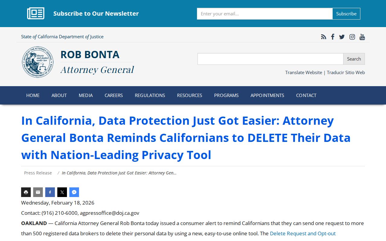
Privacy rights and public-record access are separate tracks. Use the right process for the right record.
Public Safety Registries Are Not Neighbor Rolls
California’s Megan’s Law website and the state inmate or county custody tools are jurisdiction-specific public-safety resources. The Los Angeles County Sheriff inmate center covers county custody, while the California incarcerated-person locator covers the state prison system. A result may show a registrant profile or custody information under the site’s legal-use acknowledgment, but it is not a general directory of San Gabriel neighbors. Exact address display can be limited by statute, and custody status changes.
The California Megan’s Law Website provides the public-safety source for this distinction.
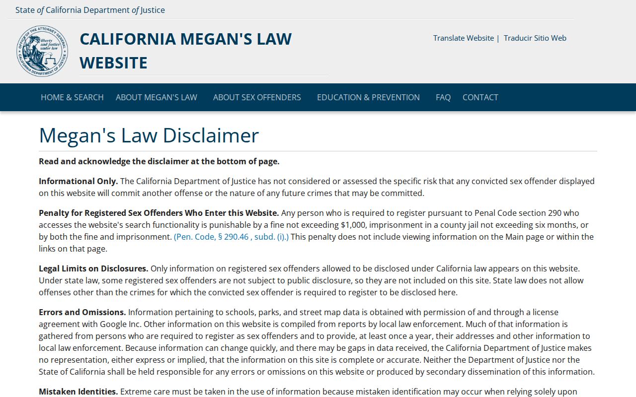
Read the warning on the official registry and never use a public-safety result to threaten, stalk, harass, or harm a person.
Privacy Limits on San Gabriel Neighbor Research
A map can show adjacent parcels. It cannot show every household member, utility subscriber, visitor, delivery record, or protected participant. The voter self-check is private-fact verification, not a block filter. Driver and vehicle address data is protected. Civic groups can publish a contact while keeping rosters private.
Lawful use. Use parcel, permit, civic, and historical clues for property research, family history, community work, or safe reconnection. Do not use a neighbor lookup to stalk, harass, intimidate, or harm anyone.
When the goal becomes a full named street, move to the address chain in the San Gabriel street directory. When the source is wrong, contact its custodian. A responsible neighbor lookup is clear about the line between a parcel and a person.